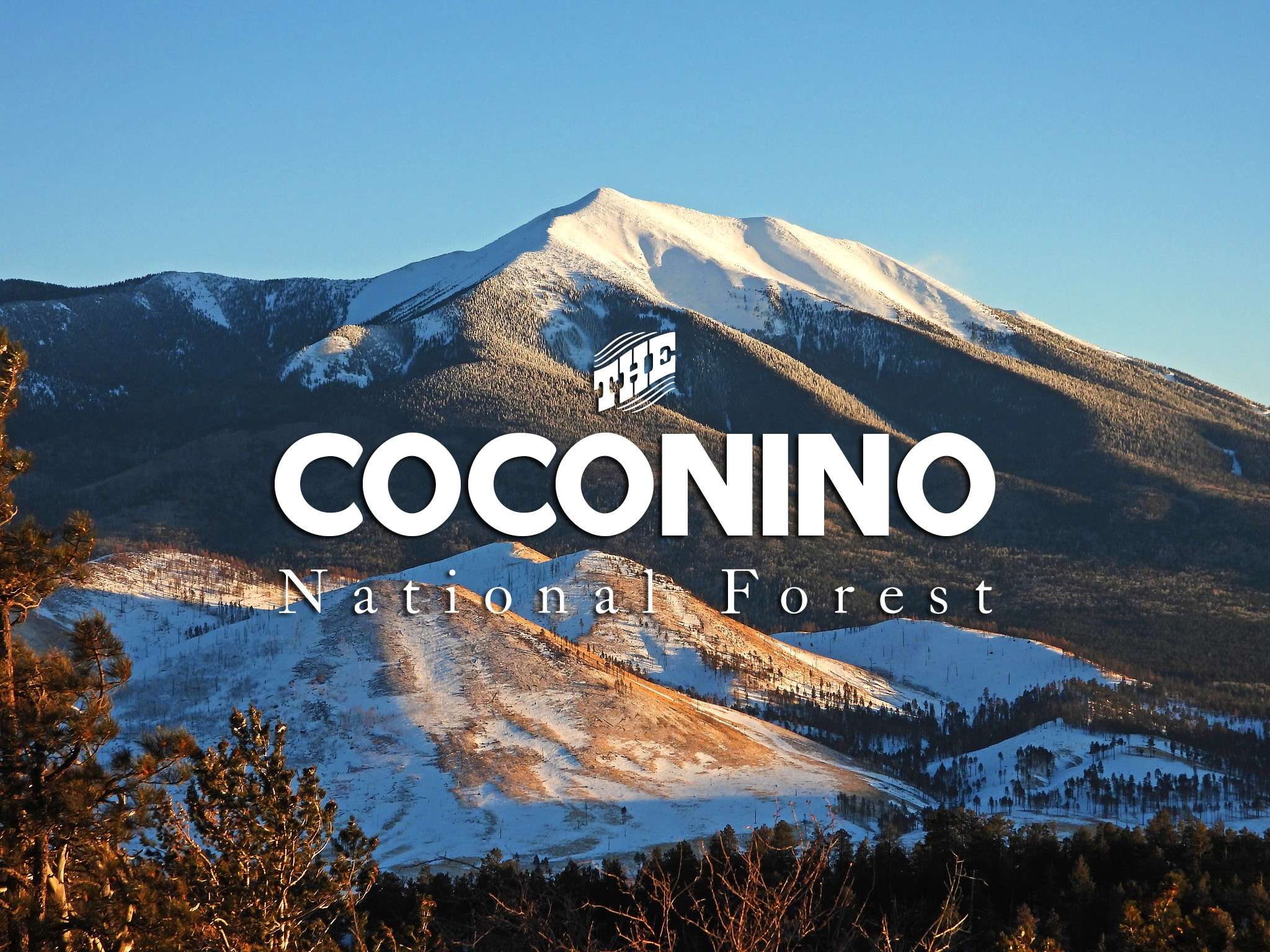
Coconino National Forest personnel are currently in the process of reopening many forest roads across the forest since warmer weather and wind have dried out and hardened surfaces, making the roads suitable for motorized travel.
Even though many forest roads across each district will be open by this weekend, there are still some that will be closed due to wet and muddy conditions that can be the cause of people getting stuck and cause damage to the roads. Drivers can expect to encounter snow and lingering moisture in some areas.
In the Flagstaff Ranger District, the Ashurst Lake road (Forest Road 82E) and Marshall Lake road (FR 128) will be reopened Friday. All other roads on the district will be reopened at a future date, as they are still wet and subject to damage from heavy weight.
The Mogollon Rim Ranger District plans to open forest roads north and west of state Route 87 and along the Lake Mary Road corridor Friday. All forest roads south and east of SR 87, and down to the Rim Road (FR 300) will remain closed until they dry out enough for safe travel.
Motorists accessing the newly opened roads should expect to still find wet spots and areas of snowbanks and snow drifts, and be aware that areas off the roads will still be wet and muddy. Use caution before pulling off the main roads to camp and please keep from creating deep ruts in areas of the road that are still wet.
Personnel will continue to monitor the condition of the roads that remain closed and will open them as soon as it is safe for travel.
Lower elevation roads, such as those in the Red Rock Ranger District, have been open for a while, as they are often ready for vehicle use several weeks before higher elevation roads are ready for use. However, Schnebly Road has been closed for a while but will reopen today.
Forest road status updates for each district are available online at www.coconinonationalforest.us in the right column under the Quick Links section and the “Forest Roads Status” link.
The public should remember to only stay on open and authorized roads that are shown on the Motorized Vehicle Use Map (MVUM), which is free at any Ranger Station or can be downloaded on a smartphone by going to http://go.usa.gov/PEa.
The Forest is always interested in your feedback on which routes or areas you think should be added or removed from the MVUM. Proposed changes to motor vehicle access on the Forest and links for submitting comments can be found on the MVUM Project page.
The smartphone map, available through the Avenza Maps app, transforms your phone to a GPS unit that can aid navigation, allow you to collect route data, and identify waypoints. The Coconino National Forest Travel Map includes additional detail and information, with shaded relief topography, game management units, hiking trails, and all designated motorized routes and areas. Once the map is downloaded, it works without cell coverage.

